Define
We agree the question, site and useful outputs.
View details ↗Aerial data. Applied intelligence. Specialist drone surveys that reveal what is changing, where it matters, and what to do next.
Every survey starts with a business question—not a flight. We select the right sensor, capture clean data and deliver an answer your team can use.
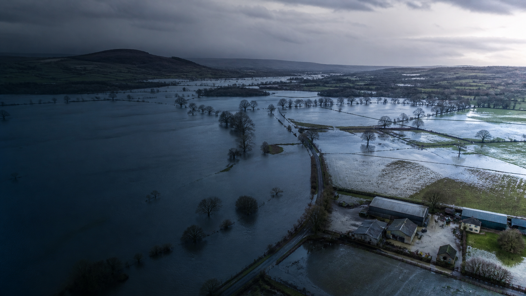
Rapid flood mapping, drainage insight and defensible post-event evidence.
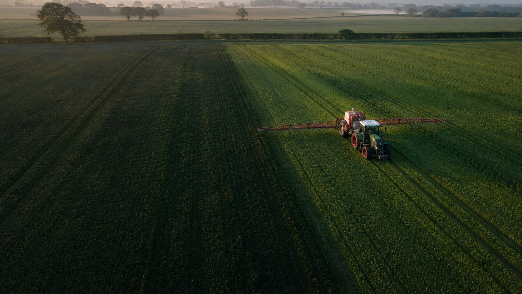
Multispectral crop intelligence for earlier, more targeted intervention.
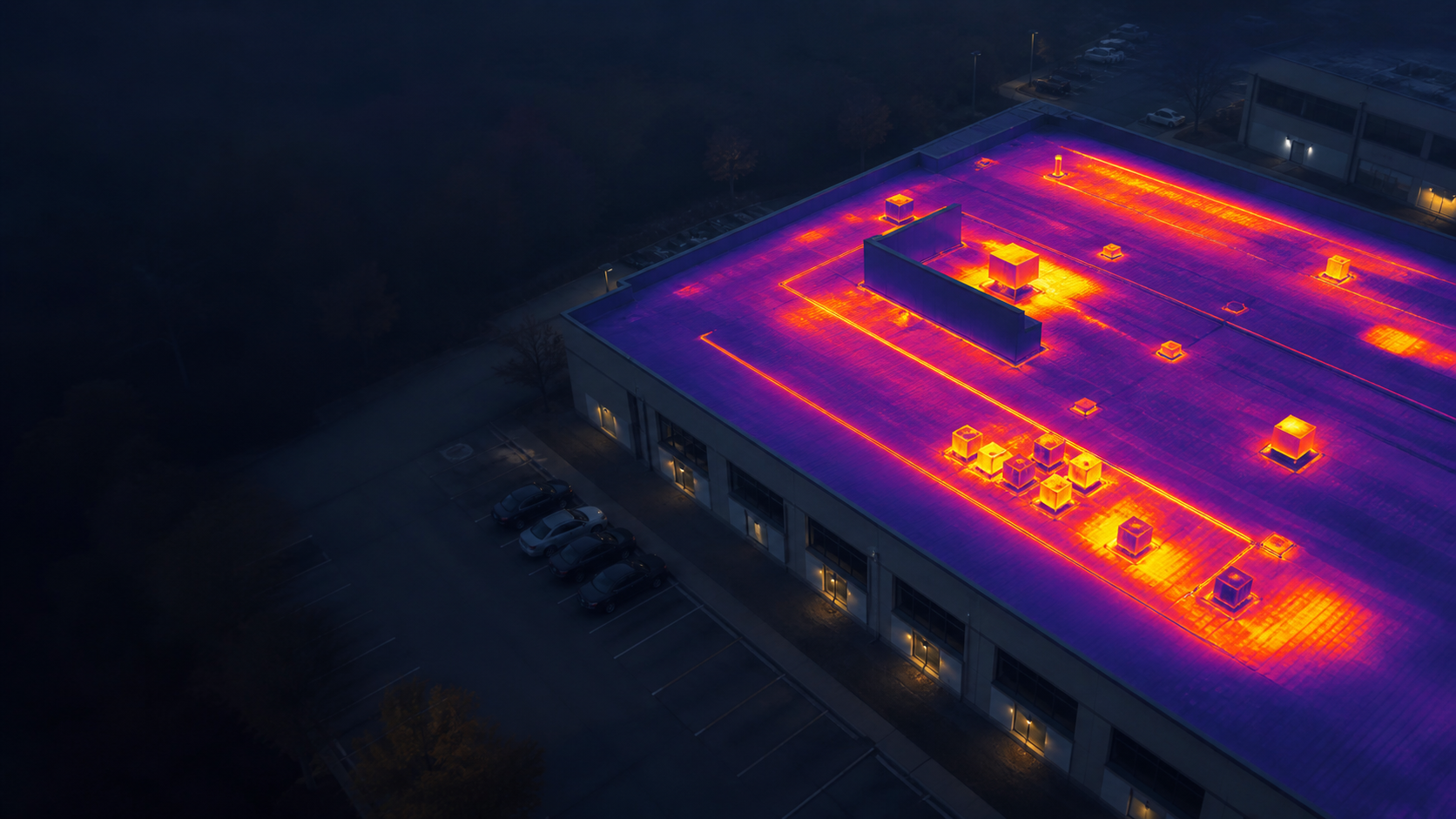
Non-contact thermal surveys for buildings, infrastructure and assets.
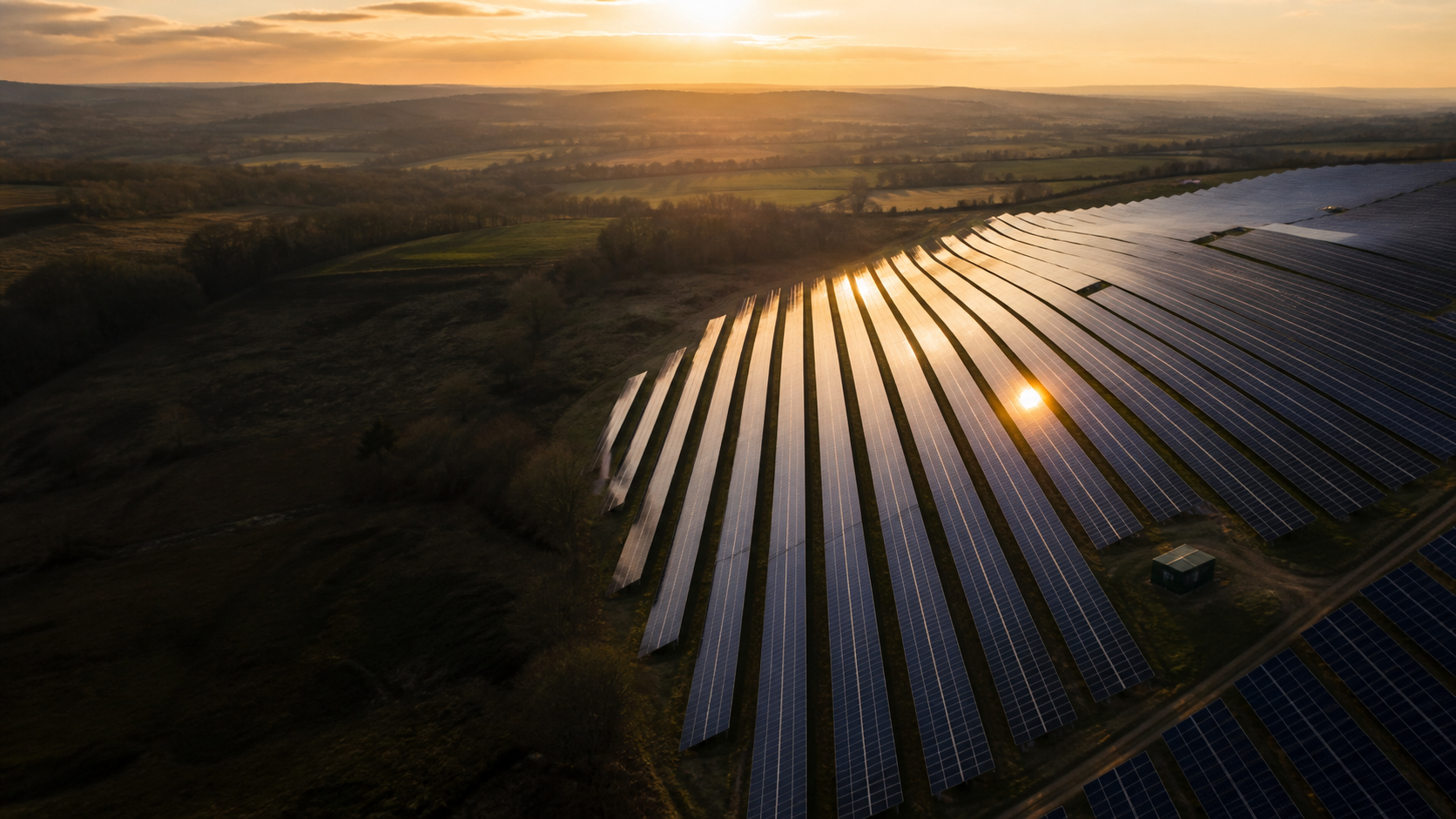
Thermal solar-farm inspection at speed, scale and consistent quality.
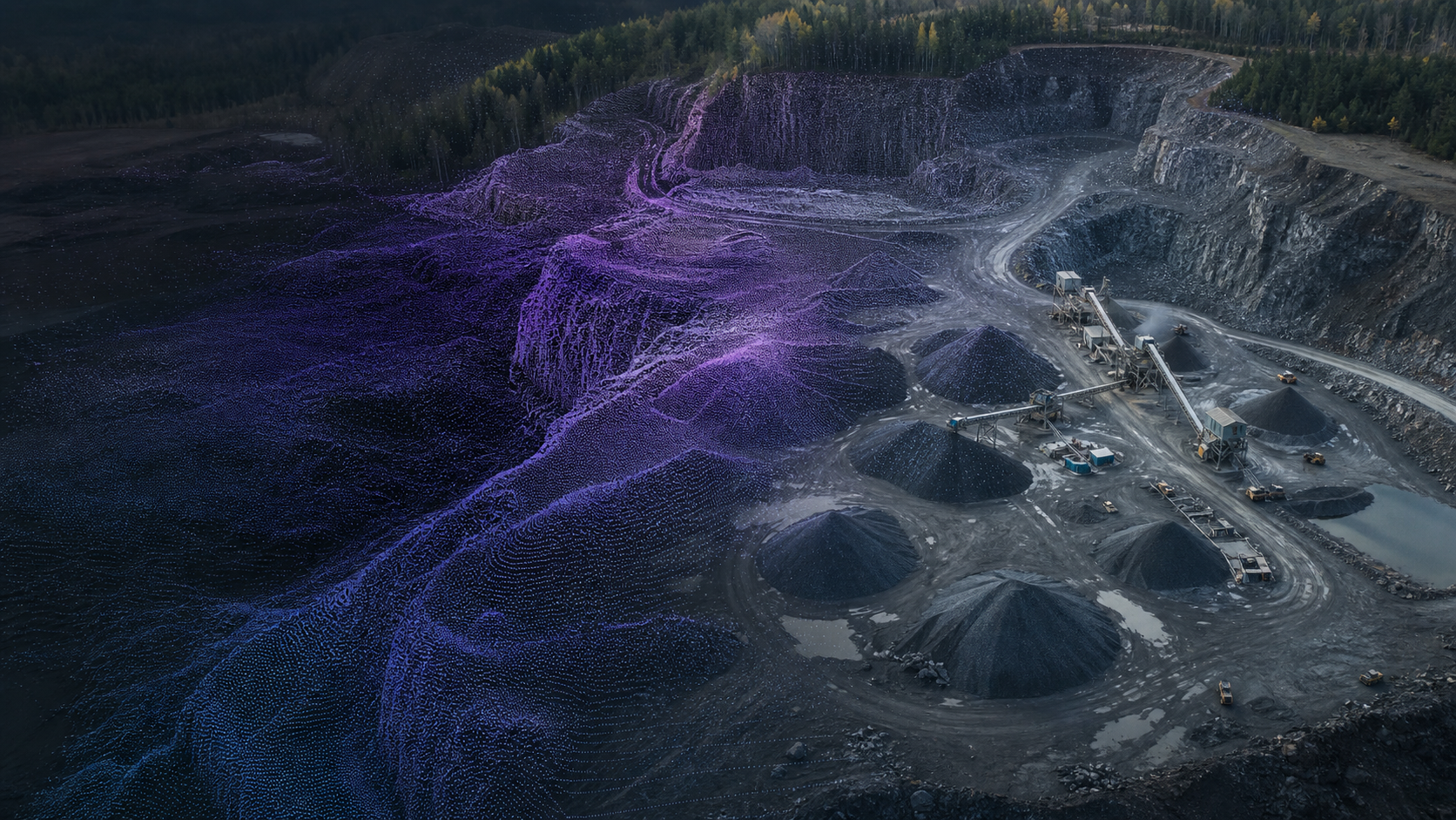
Repeatable 3D surveys for stockpiles, terrain and change over time.
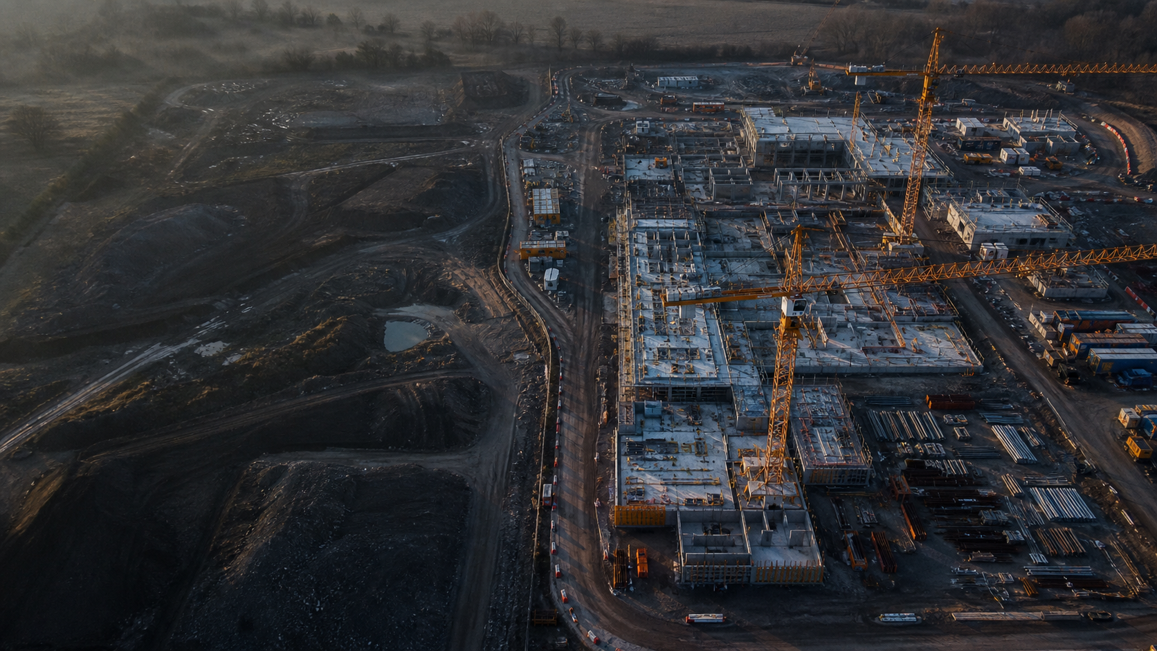
Current, shareable site intelligence for project teams and stakeholders.
We combine careful flight planning, specialist sensors and practical reporting to give landowners, asset managers and project teams confidence in their next move.
We agree the question, site and useful outputs.
View details ↗We plan and fly the right sensor package safely.
View details ↗We turn imagery into findings, maps and models.
View details ↗You get clear evidence and a practical next step.
View details ↗Build a clear brief around the site, the problem and the decision in front of you—or send us a simple email.
Plan a survey ↗hello@adroitaero.com